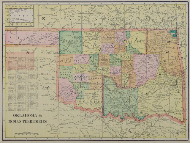
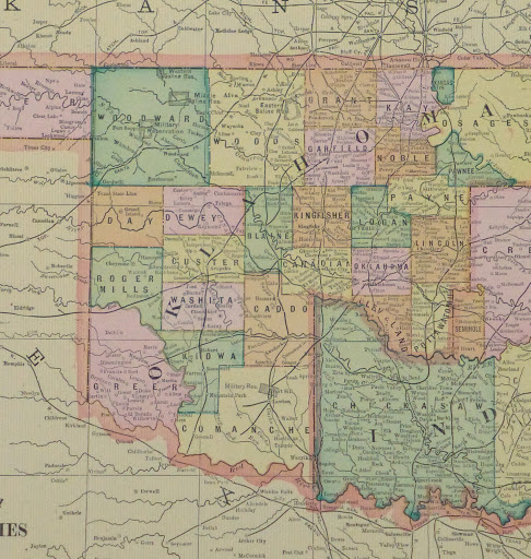
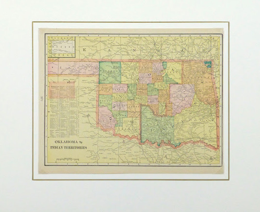


Description
Antique map of the state of Oklahoma and Indian Territory before statehood, 1903. Shows counties, tribes, railroads, rivers and towns.
Original antique map on paper displayed on a white mat with a gold border. Mat fits a standard-size frame. Archival plastic sleeve and Certificate of Authenticity included. Artwork, 13.25″L x 10.5″H; mat, 20″L x 16″H.