

Description
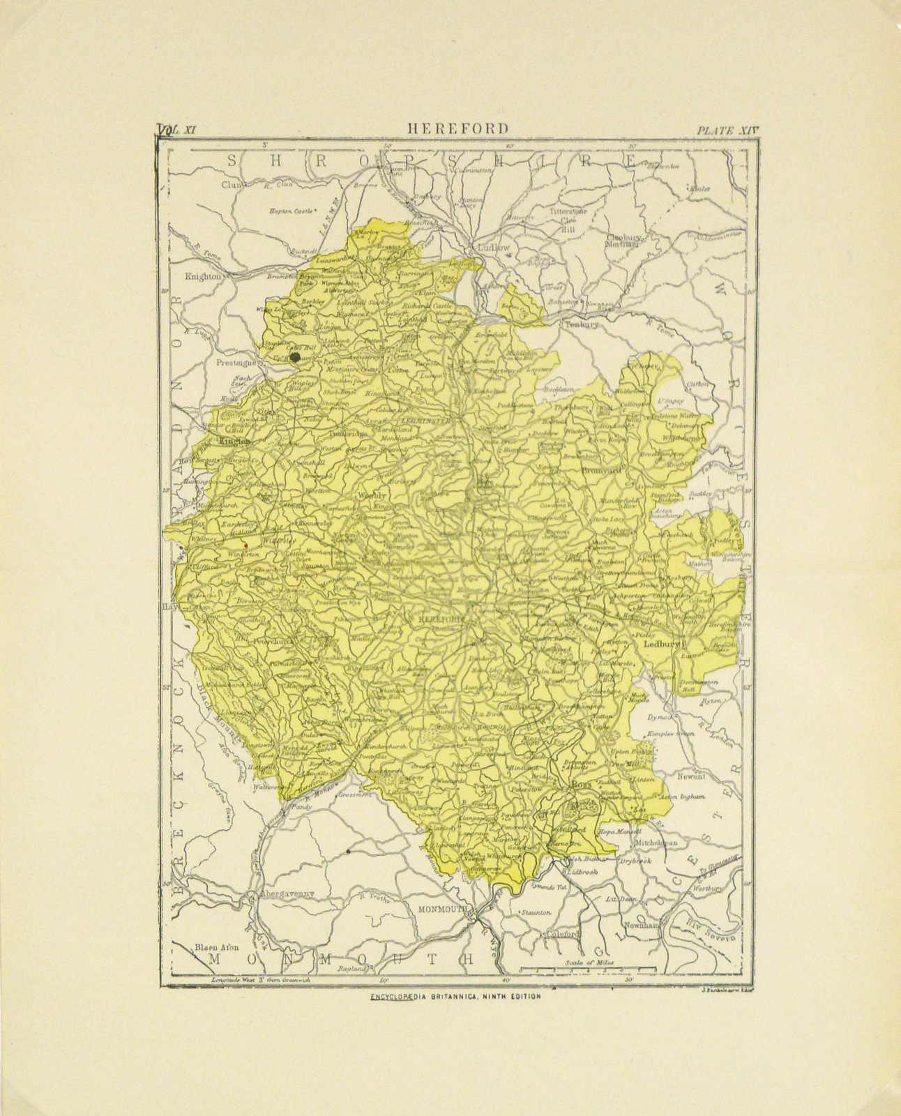
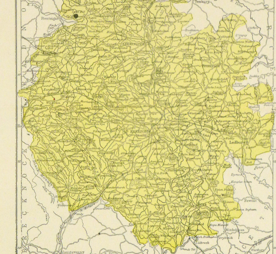
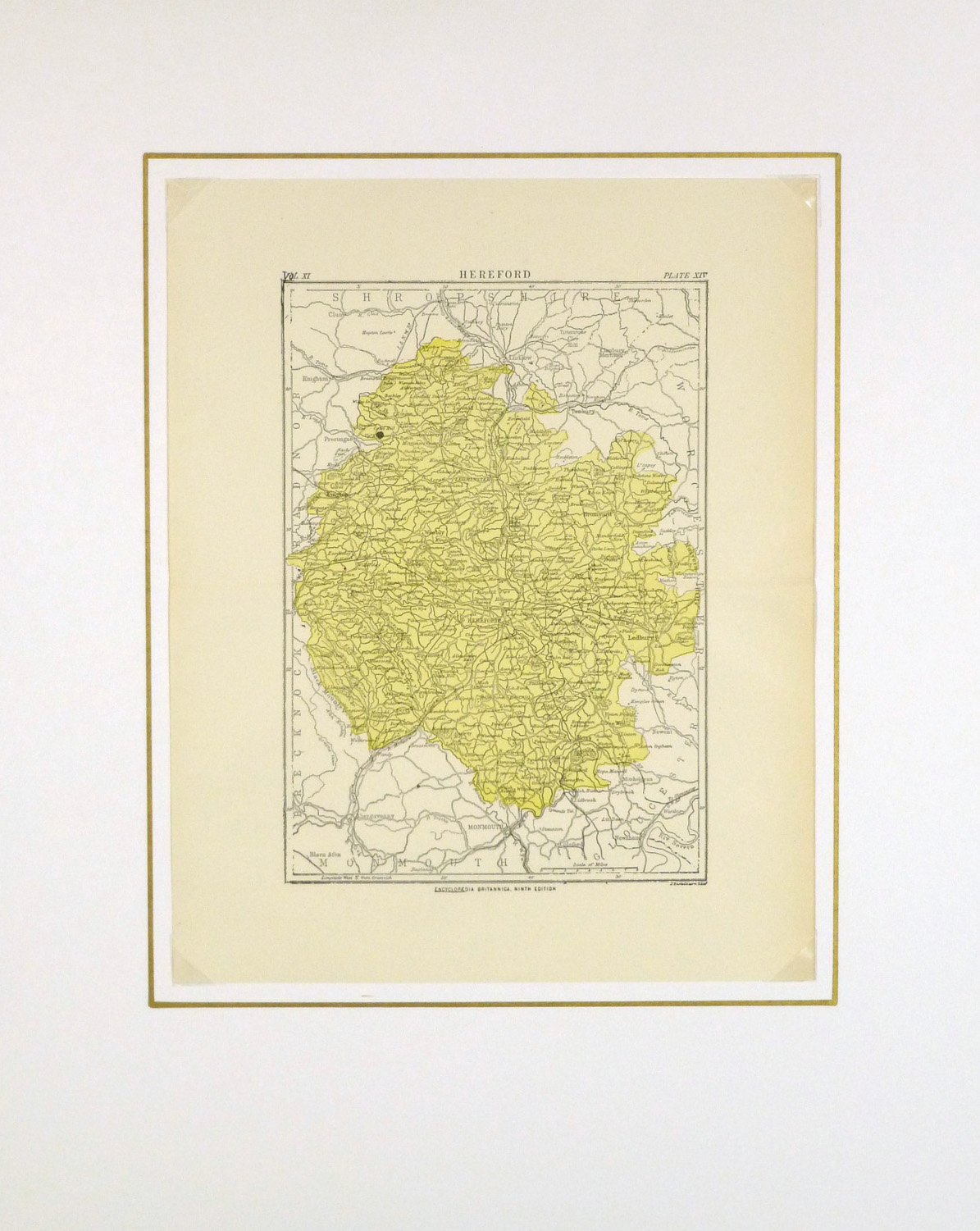
Antique map of Hereford, England from circa 1880. Shows county and towns.
Original antique map on paper displayed on a white mat with a gold border. Mat fits a standard-size frame. Archival plastic sleeve and Certificate of Authenticity included. Map, 9.75″L x 12.25″H; mat, 16″L x 20″H.