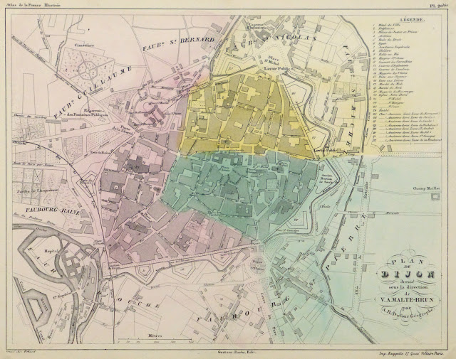
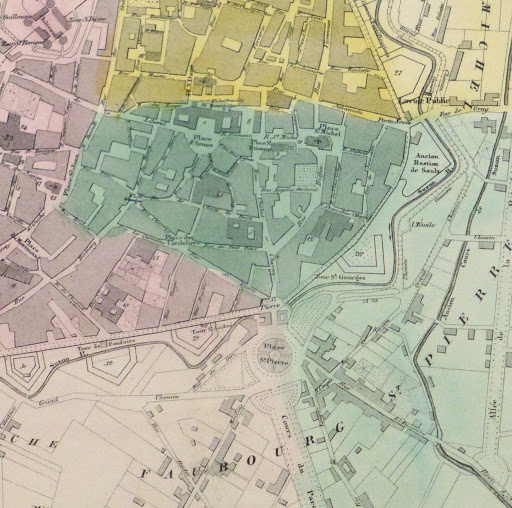
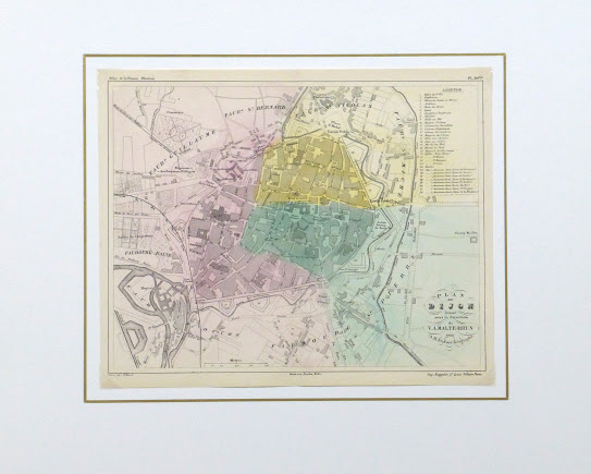


Description
Antique engraved map of the plan of the city of Dijon, France, circa 1850. Accented in a light hand coloring. Shows streets, buildings, blocks, river, moats and parks. Index upper right.
Original antique map on paper displayed on a white mat with a gold border. Mat fits a standard-size frame. Archival plastic sleeve and Certificate of Authenticity included. Map, 12.75″L x 10.25″H; mat, 20″L x 16″H.