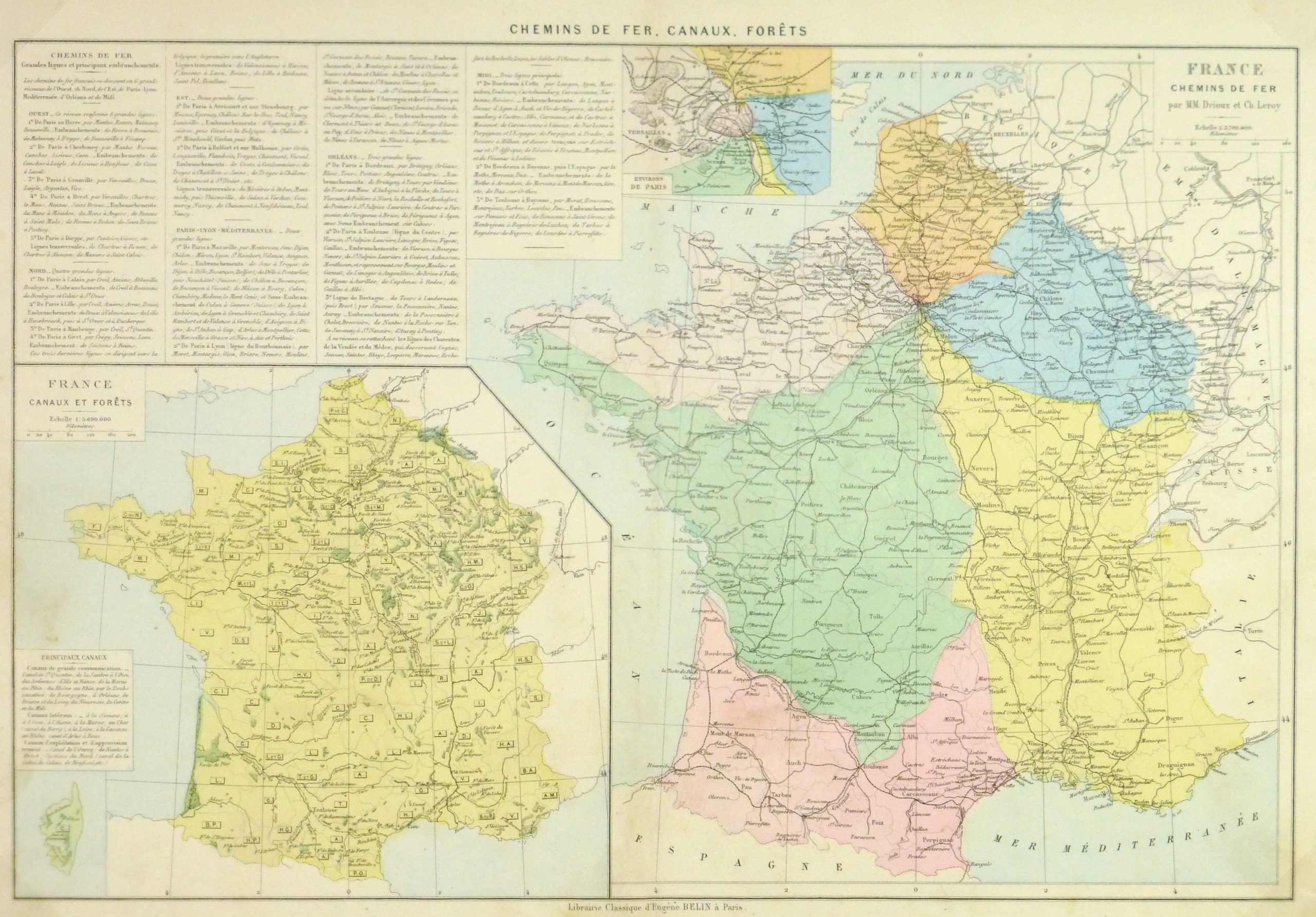
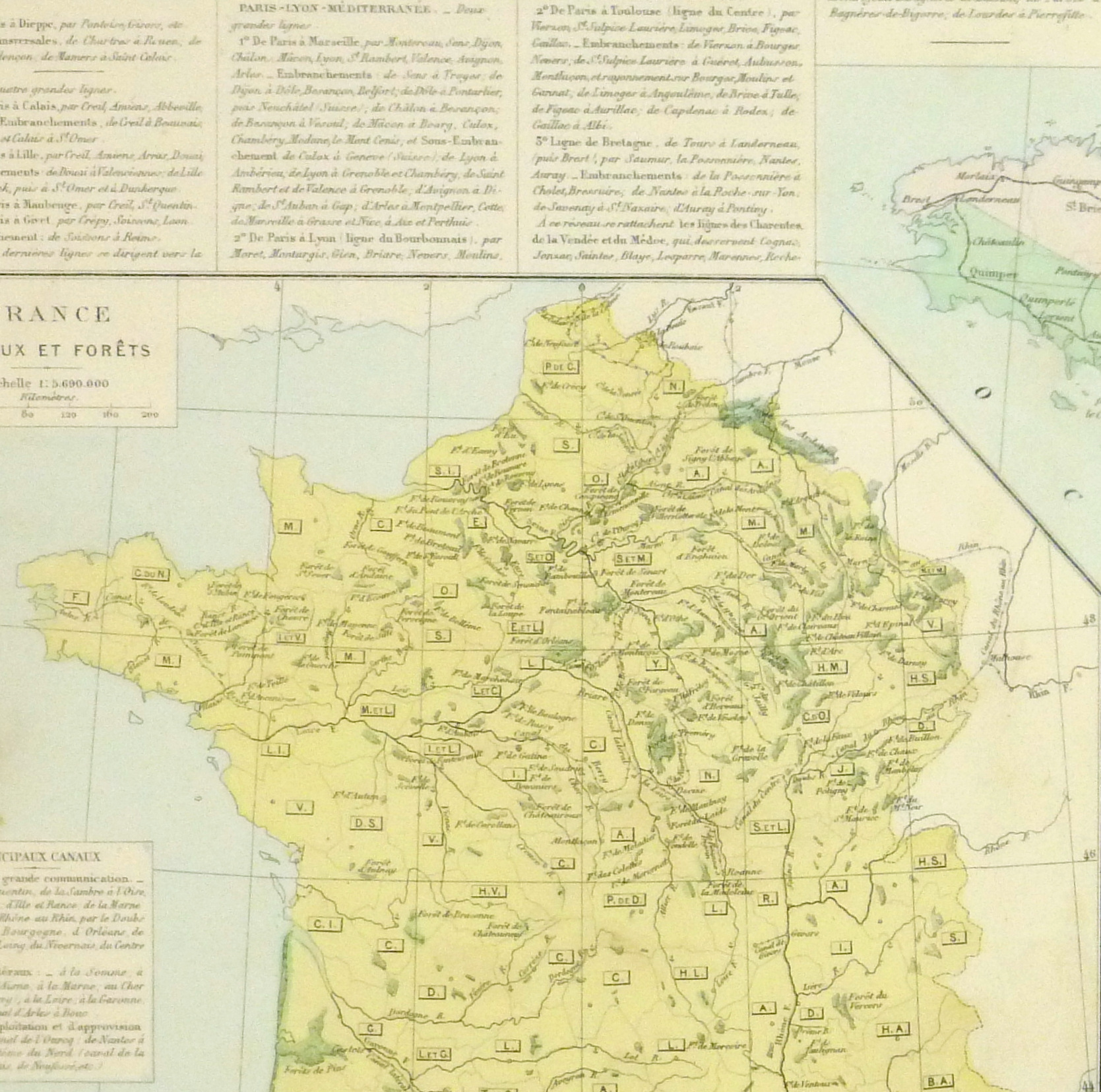
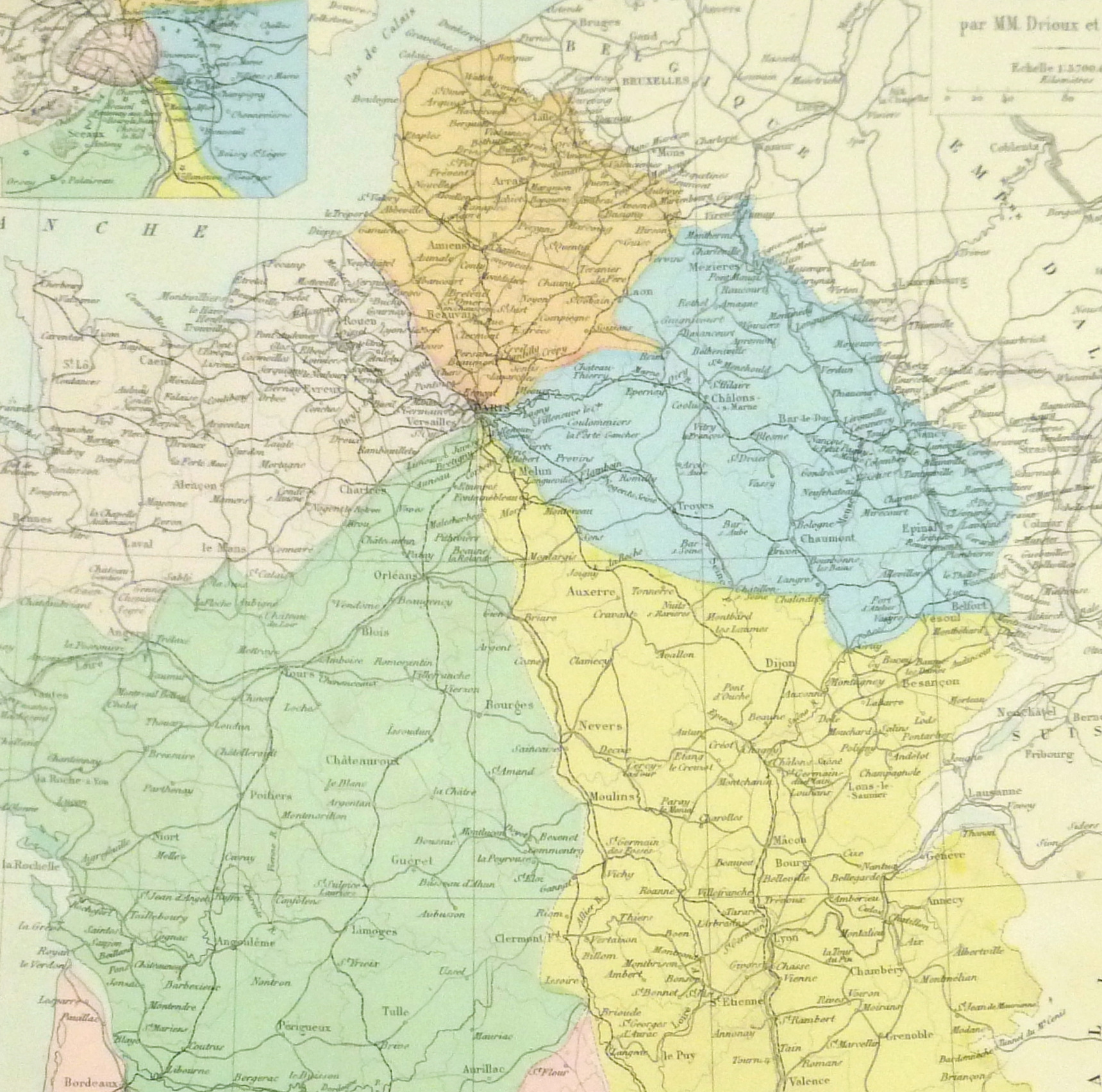
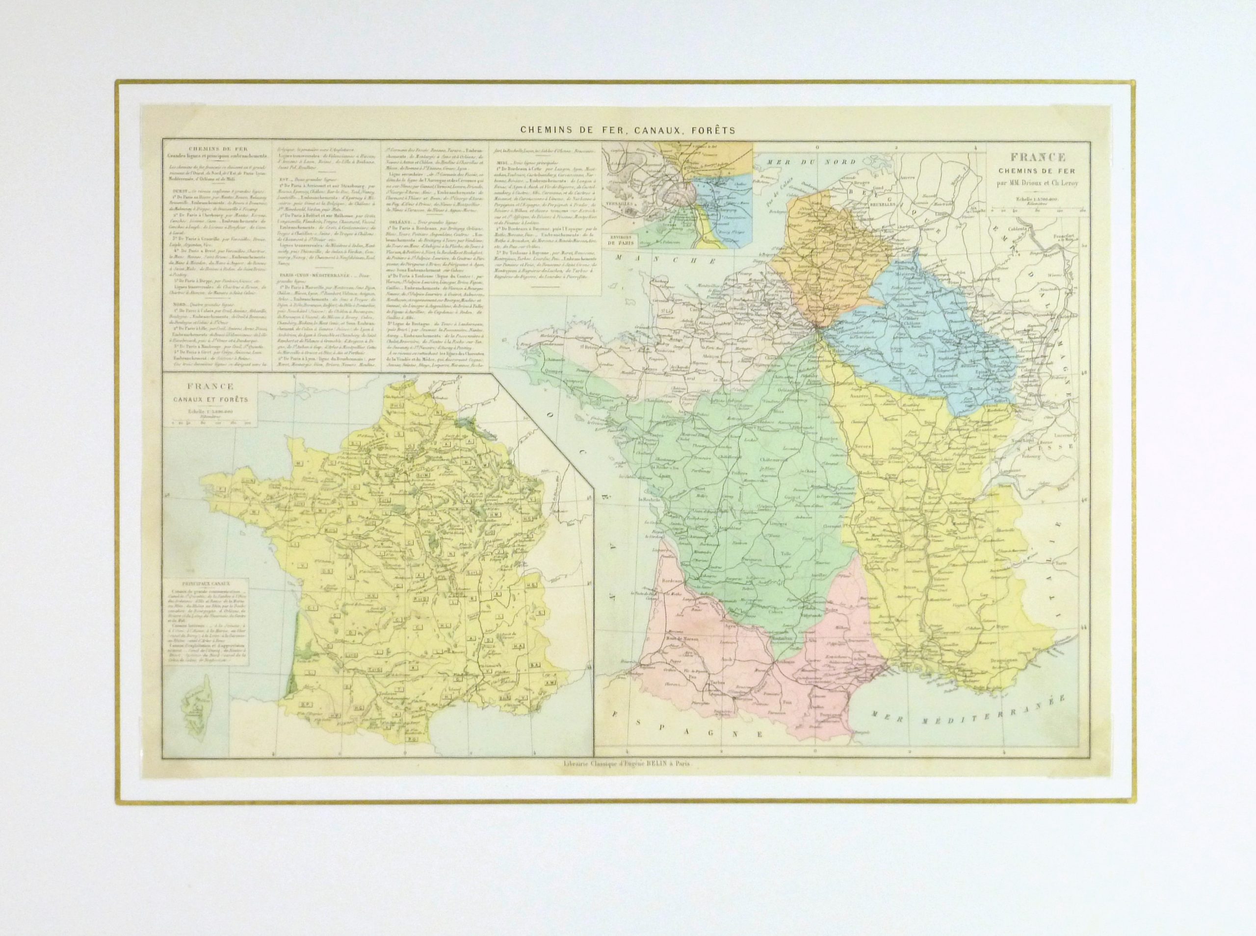


Description
Antique hand-colored map of the railroads of France, inset in lower left includes canals and rivers, 1883.
Original antique map on paper displayed on a white mat with a gold border. Mat fits a standard-size frame. Archival plastic sleeve and Certificate of Authenticity included. Map, 17.75″L x 12.5″H; mat, 24″L x 18″H.