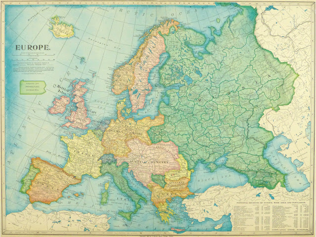
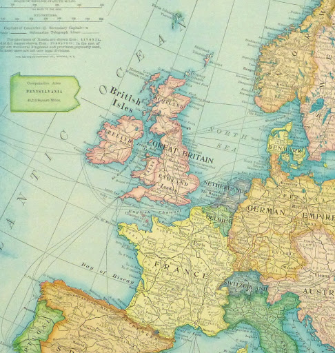
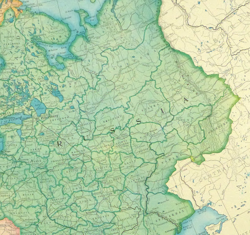


Description
Antique lithograph map of Europe from 1899. Shows maritime and railroad routes, borders, and towns. Note vast extent of Austro-Hungarian and German empires.
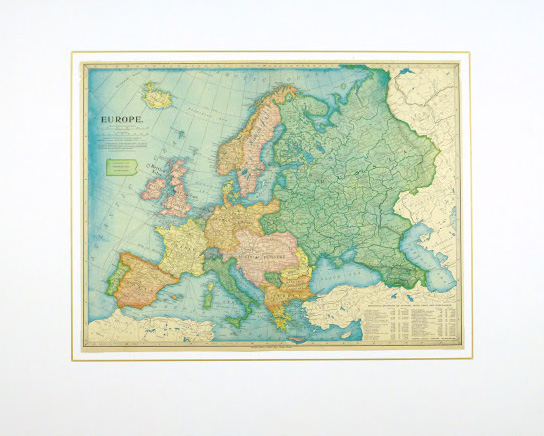
Original antique map on paper displayed on a white mat with a gold border. Mat fits a standard-size frame. Archival plastic sleeve and Certificate of Authenticity included. Map, 20″L x 15.25″H; mat, 30″L x 24″H.