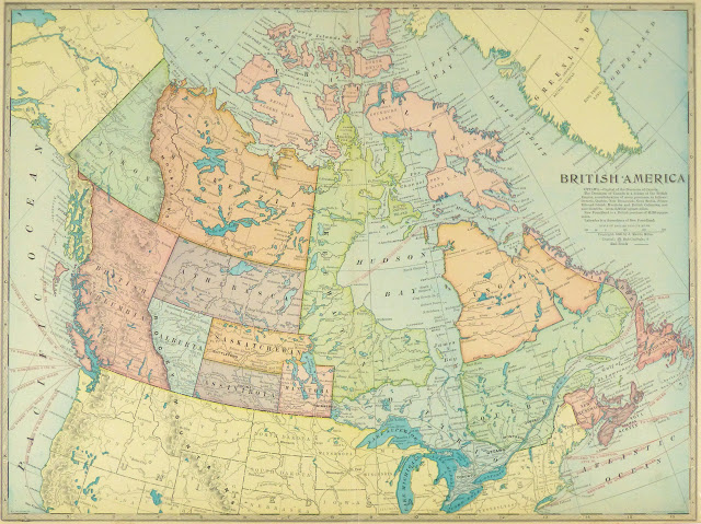
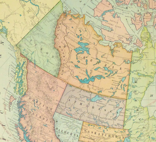
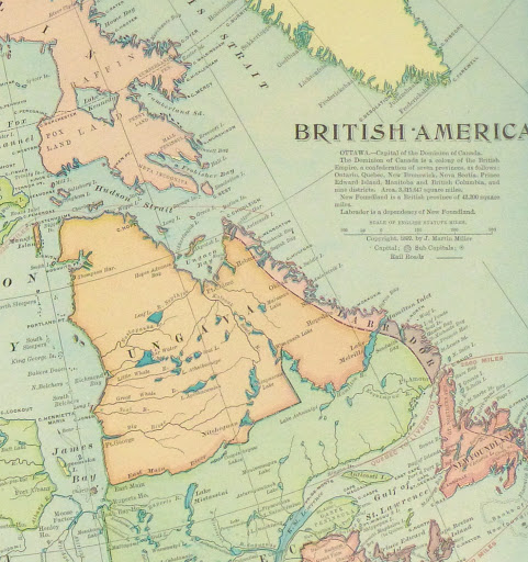
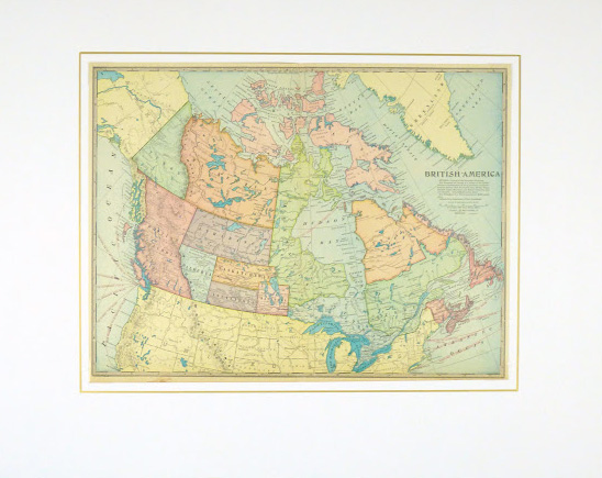


Description
Large antique map of British America, Canada, from 1899. Â Shows early provinces, rivers, lakes, mountains, railroad transport and towns.
Original antique map on paper displayed on a white mat with a gold border. Mat fits a standard-size frame. Archival plastic sleeve and Certificate of Authenticity included. Map, 20.25″L x 15″H; mat, 30″L x 24″H.