ANTIQUE MAPS
-
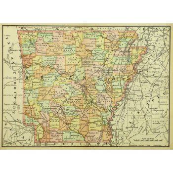
Map – Arkansas, 1891
$75.00Crisp and vivid antique map of Arkansas from Rand McNally, 1891.
-
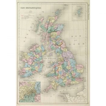
Map – British Isles – 1873
$150.00Colorful and finely detailed antique map of the British Isles includes insets of The Shetland Islands and cities surrounding London from French mapmaker Mitchell, 1873.
-
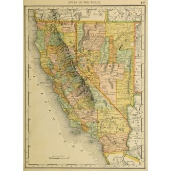
Map – California and Nevada, 1887
$100.00Vibrant and bright antique map of the states of California and Nevada by Rand McNally, 1887.
-
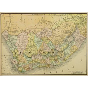
Map – Cape Colony Africa, 1891
$100.00Historic and colorful map of Cape Colony, a British colony in present day South Africa, from Rand McNally, 1891.
-
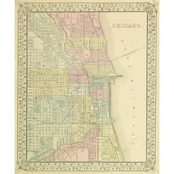
Map – Chicago, 1867
$159.00Beautifully detailed and colorful antique map of the city of Chicago by Mitchell, 1867.
-
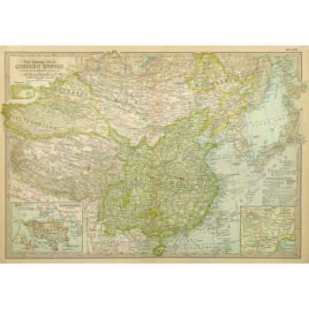
Map – China, 1897
$100.00Exceptional and detailed antique map of the Chinese Empire, includes insets of Hong Kong and Peking from Century Atlas, 1897.
-
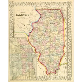
Map – Illinois, 1867
$159.00Beautifully detailed and colorful antique map outlining the counties of the state of Illinois by Mitchell, 1867.
-
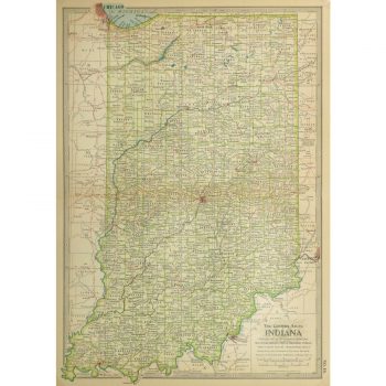
Map – Indiana, 1897
$100.00Exceptional antique map of the state of Indiana, from Century Atlas, 1897.
-
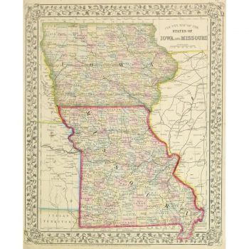
Map – Iowa & Missouri, 1867
$150.00Beautifully detailed and colorful antique map outlining the counties of the states of Iowa and Missouri by Mitchell, 1867.
-
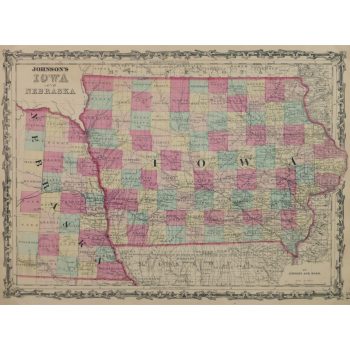
Map – Iowa & Nebraska, 1863
$150.00Vivid antique map of the states of Iowa and Nebraska by Johnson and Ward, 1863.
-
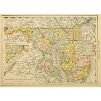
Map – Maryland & Delaware, 1887
$75.00Vibrant and highly detailed antique map of the states of Maryland and Delaware by Rand McNally, 1887.
-
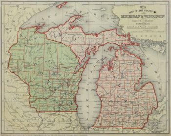
Map – Michigan & Wisconsin, 1860
$100.00
Showing 121–132 of 271 results