STATES
-
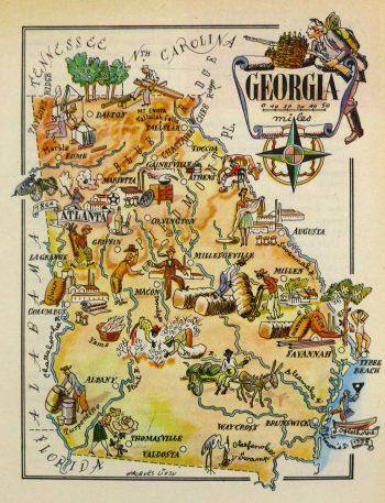
Georgia Pictorial Map, 1946
$75.00 -
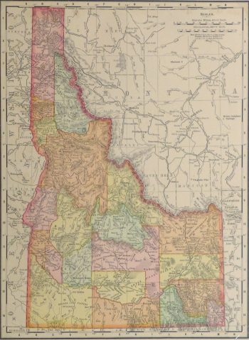
Idaho Map, 1901
$75.00 -
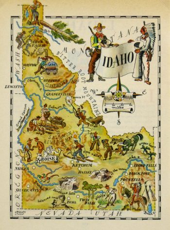
Idaho Pictorial Map, 1946
$75.00 -
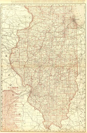
Illinois Counties & Railroads Map, 1895
$150.00 -
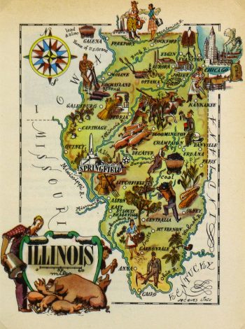
Illinois Pictorial Map, 1946
$75.00 -
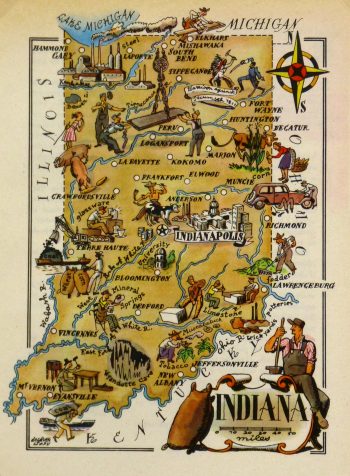
Indiana Pictorial Map, 1946
$75.00 -
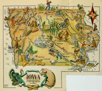
Iowa Pictorial Map, 1946
$75.00 -
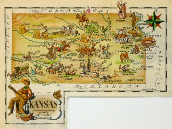
Kansas Pictorial Map, 1946
$75.00 -
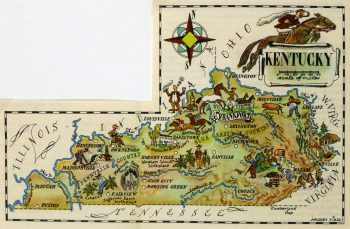
Kentucky Pictorial Map, 1946
$75.00 -
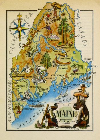
Maine Pictorial Map, 1946
$75.00 -
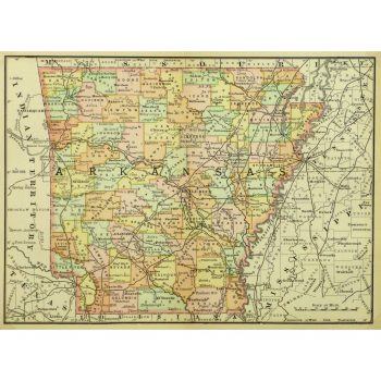
Map – Arkansas, 1891
$75.00Crisp and vivid antique map of Arkansas from Rand McNally, 1891.
-
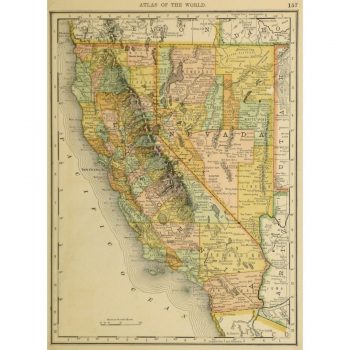
Map – California and Nevada, 1887
$100.00Vibrant and bright antique map of the states of California and Nevada by Rand McNally, 1887.
Showing 37–48 of 135 results