Medium - 16" x 20"
-
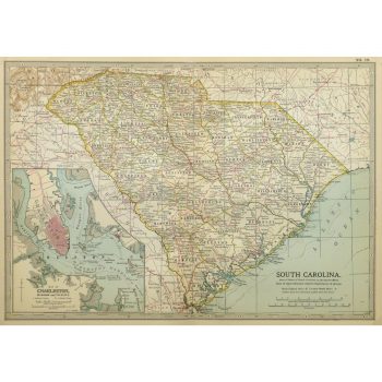
Map – South Carolina, 1902
$100.00Colorful and detailed antique map of South Carolina, includes an inset of Charleston, from Century Atlas, 1902.
-
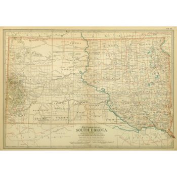
Map – South Dakota, 1897
$100.00Crisp and detailed antique map of the state of South Dakota from Century Atlas, 1897.
-
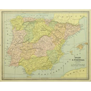
Map – Spain & Portugal, 1885
$100.00Excellent and elegant antique map of Spain and Portugal from Cram, 1885
-
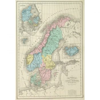
Map – Sweden, Norway & Denmark, 1873
$150.00Colorful and finely detailed antique map of Sweden and Norway including insets of Denmark and Iceland by French mapmaker Mitchell, 1873.
-

Map – Vermont & New Hampshire, 1897
$100.00Beautiful and highly detailed antique map of the states of Vermont and New Hampshire, from Century Atlas, 1897.
-
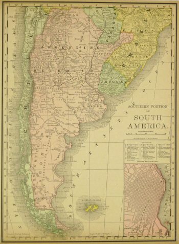
Map Argentina and Chile, 1890
$75.00 -
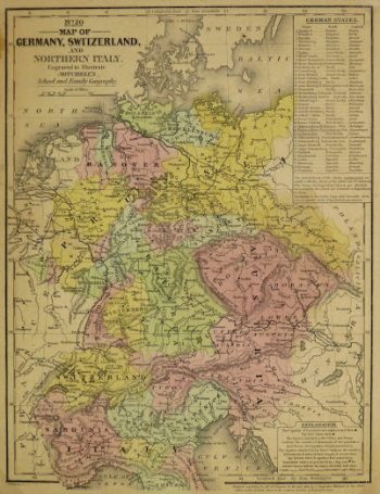
Map Germany & Switzerland, 1840
$75.00 -
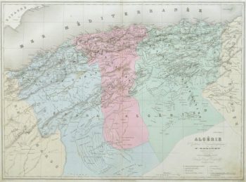
Map of Algeria, 1859
$125.00 -
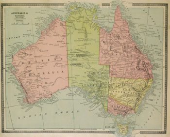
Map of Australia, 1890
$75.00Excellent and brightly accented map of the Oceania region of the Pacific Ocean from Encyclopedia Britanica, 1891.
-
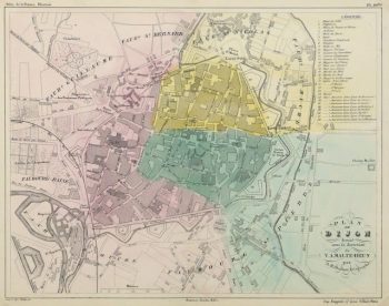
Map of Dijon France, Circa 1850
$125.00 -
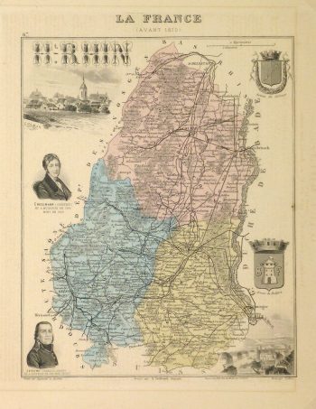
Map of France, 1876
$100.00 -
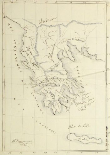
Map of Greece, 1856
$150.00
Showing 1741–1752 of 2571 results