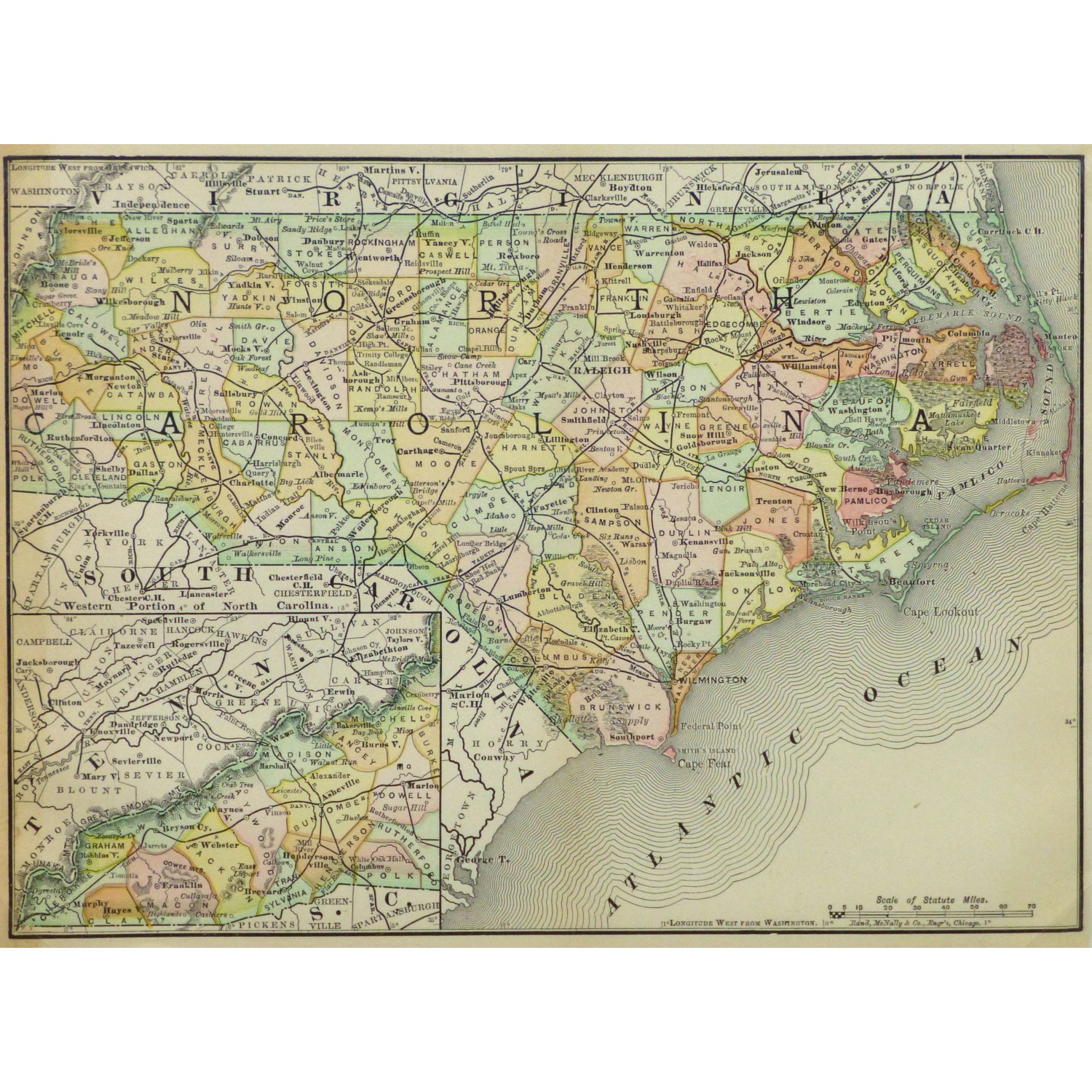
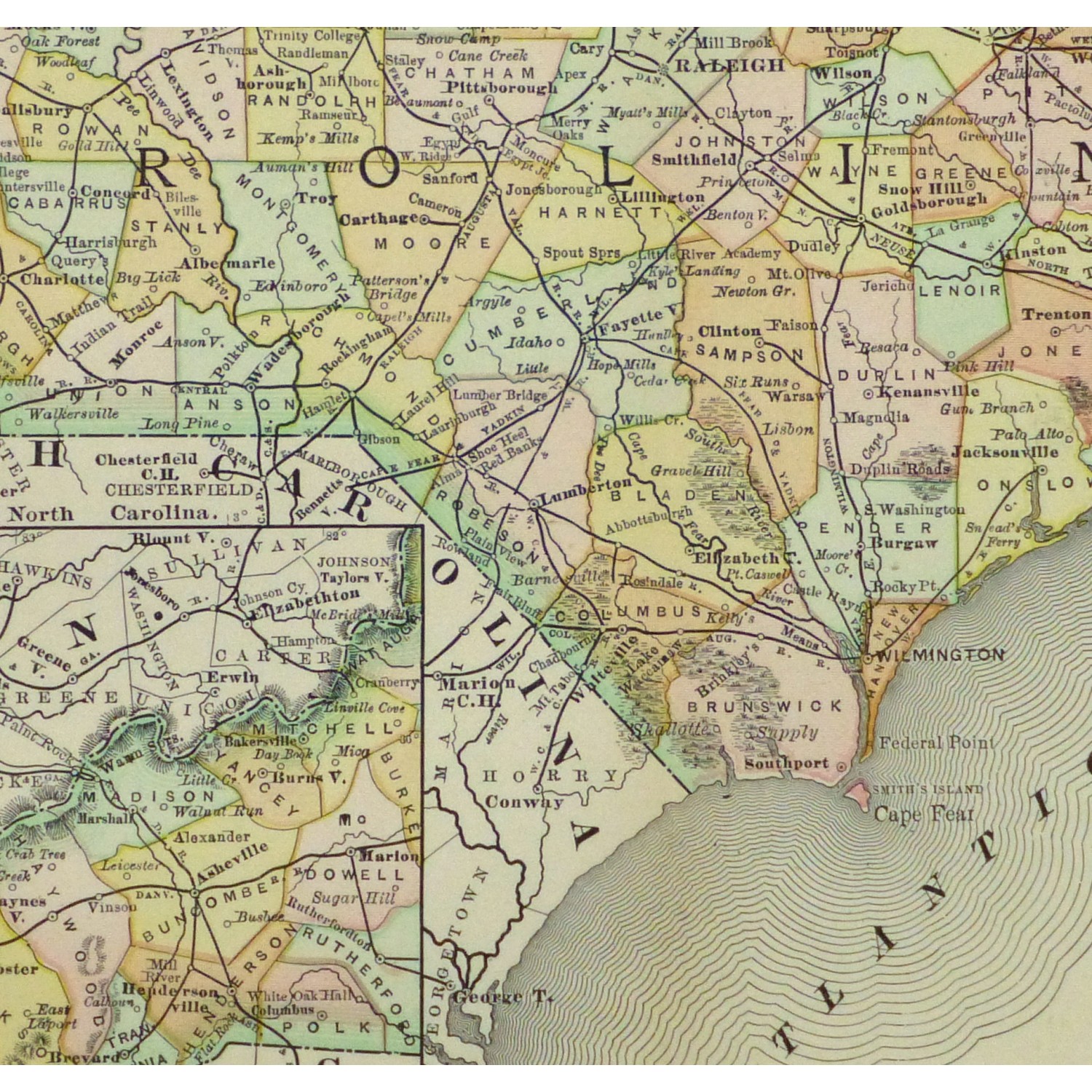
Map – North Carolina, 1891

$75.00

Vividly accented antique map of the state of North Carolina from the Encyclopedia Britanica, 1891.

In stock

SHARE:

Email
Compare
SKU: 9255M Categories: , , ,

Description

Vividly accented antique map of the state of North Carolina from the Encyclopedia Britannica, 1891. Shows counties, railroads, rivers and towns.

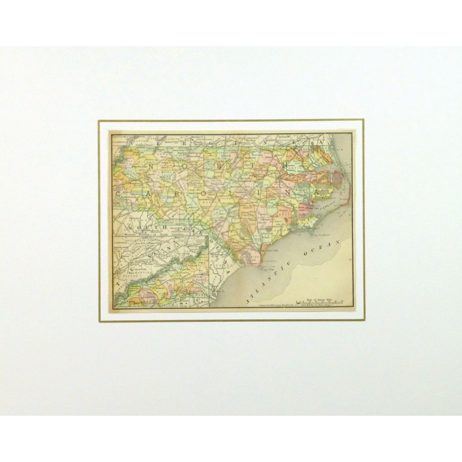
Original antique map on paper displayed on a white mat with a gold border. Mat fits a standard-size frame. Archival plastic sleeve and Certificate of Authenticity included. Map, 10.25″L x 7.5″H; mat, 20″L x 16″H.


Additional information

Color

Browns and Neutrals, Greens, Oranges, Yellows

Country of Origin

USA

Date

1850-1900

Media

Lithography

Size

Medium

Condition

Very good; center fold as issued, age toning in left margin